
Resilience & Climate Infrastructure · Texas Hill Country
Texas Tech brings 22 weather stations online in the Hill Country
Texas is investing $24 million in a network of 40 weather stations and three radars. Dell is donating the computing equipment for a new Texas forecasting system.

Texas Tech University has brought 22 of 40 planned weather stations online in the Hill Country, university officials told the San Antonio Express-News at a November 17 event in Kerrville. Texas committed $24 million after the July 2025 Central Texas floods to extend the university’s monitoring network into a region where heavy rain can develop rapidly.
Four of the new stations are in Kerr County, including three near Hunt and one near Comfort, the Express-News reported. Instruments at the stations measure conditions on the ground, including rainfall and wind speed. John Schroeder, senior director of Texas Tech’s National Wind Institute, said the towers send observations every minute.
From a rain gauge to a regional forecast
The university’s plan pairs those measurements with three radars that will fill gaps in Hill Country coverage. A gauge measures the rain falling at one spot. Radar helps forecasters estimate what is falling between gauges and see where a storm is moving. Both observations will feed the Texas Prediction System.
Dell Technologies is donating a computing cluster, including servers, networking equipment and storage. The system will run several versions of a forecast looking 48 hours ahead. As a storm develops, a second model will incorporate fresh observations to give forecasters and emergency managers a more detailed short-term view.
The National Weather Service and local emergency managers are among the intended users. Texas Tech expects to have the full network in place by fall 2027.
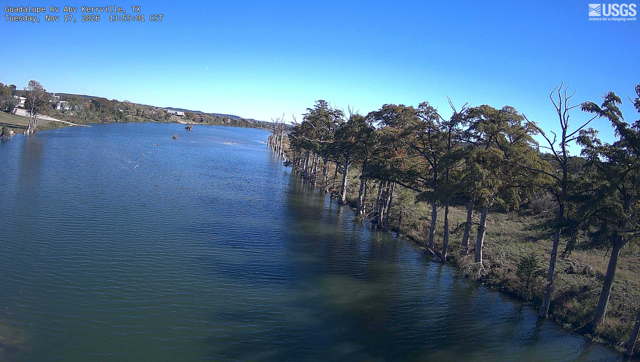
The Guadalupe River above Kerrville on November 17, 2026. This view comes from a separate U.S. Geological Survey river monitoring site. Photograph courtesy of the U.S. Geological Survey.
Status and next steps
Texas Tech expects full deployment by fall 2027.
Review the official next step →Project contacts and next steps
A direct project contact has not been verified for this article. Consult the linked source organization for the appropriate office.
Primary sources
- Texas Tech University announcement · 2026-11-17
- Kerrville event and operating station count, San Antonio Express-News · 2026-11-17